|
Date: Sunday, July 19, 2015, Meet at 8:30 am and ride starts at 9:00 am
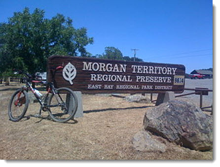
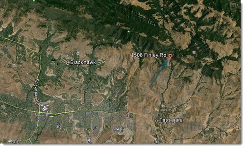
Start Location: Meet at 1508 Finley Road, Clayton and start from Finley Road Entrance to Morgan Territory
Distance: 12.5+ depending on group's desire
Type of bike: Mountain bike
Ride Classification: intermediate & advanced riders
Total Climb: total climb 3350+ feet, depending on route chosen
Direction: Exit I-680 at Diablo Rd in Danville and go EAST towards Mt Diablo (away from downtown Danville . . . that would be LEFT from Southbound I-680 or RIGHT from Northbound I-680. Go EAST under freeway about ½ mi to "Y" in road. Take Right onto Camino Tassajara Rd. Stay on Camino Tassajara by turning LEFT at intersection with Sycamore Valley Rd. Follow Camino Tassajara east about 7 miles past Blackhawk and other housing developments. When you pass school on left, will become open space. Watch for Finley Rd & turn LEFT. Follow road about 2 miles & park alongside road. No parking within last ½ mile! If you see no parking signs, you have gone too far.
Ride Leader: Sean Virnig, RSVP sean.virnig@me.com by Tuesday, July 14 so that he can prepare lunch for the riders.
Lunch: Social, food, and drinks at Sean's place
Safety: Wearing helmet is mandatory for all club group rides.
What to bring: Spare tubes, patch kit, tire irons, pump/CO2 inflators, multi-tool, water hydration system/water bottles, identification/money/medical card and phone.
Before the Ride Maintenance: Check the wheels (quick-release skewers are tightened correctly), inspect the tires for air pressure (with a floor pump's meter, not your thumb), test the brakes, lube the chain, and check the shifting.
Weather: Warm to hot, so that is why the early start
Website: See more information at the state park's map.
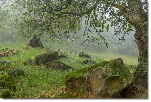
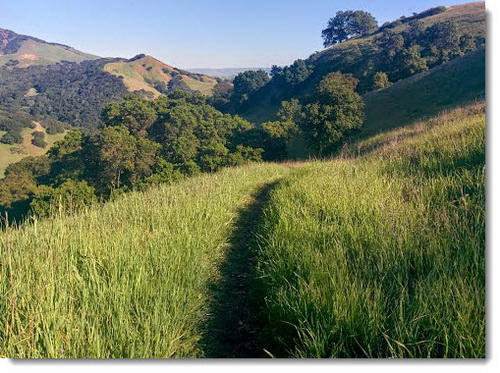
About the Trail: This is an all-fire-road ride deep in the East Bay hills with very steep climbs.
Map: To be given out at park
|